 Login
Login
Update as of 4:45 p.m., December 11, 2025. Community Notice: River Forecast Centre is ending a High Streamflow Advisory For:
- South Interior
- Boundary
- West Kootenay
- East Kootenay
Rainfall rates have eased through the region. River levels have reached peak levels and are receding. No significant additional rises are anticipated at this time.
The River Forecast Centre continues to monitor the conditions and will provide updates as conditions warrant.
For information on how to prepare for flood hazards, visit PreparedBC.
Road Closures
Members who are planning travel should also be aware that the Ministry of Transportation and Transit has closed major highways between the Lower Mainland and the Interior due to flooding, falling rock and debris, and high avalanche hazards.
Drivers are advised to travel only if necessary. For updates, visit: https://www.drivebc.ca/
Highways closure notice: https://news.gov.bc.ca/releases/2025TT0123-001235
=====================================================
December 11th, 2025
Way’ Members,
A High Stream Flow Advisory has been issued for the Okanagan region due to the atmospheric river weather system which is currently impacting British Columbia. A High Stream Flow Advisory means that river levels are rising or expected to rise rapidly, but that no major flooding is expected.
The heaviest rainfall is focused on coastal areas, however spillover of rainfall into the interior ranges of the South Interior and south-east BC is possible. Rivers are expected to rise on Wednesday in response to rainfall and snowmelt. Heavy rain and high streamflow bring increased risk for unstable banks, river erosion, flooding and landslides. Stay clear of the banks of swift running rivers and never drive across flooded roads, bridges or river crossings.
For more information on Stream Flow and flooding advisories please visit: https://bcrfc.env.gov.bc.ca/warnings/
High Stream Flow Advisory: https://bcrfc.env.gov.bc.ca/warnings/advisories/HSA_2025_12_09_1245_SI_iss.pdf
Road Closures
In addition to the High Stream Flow Advisory, members who are planning travel should also be aware that the Ministry of Transportation and Transit has closed major highways between the Lower Mainland and the Interior due to flooding, falling rock and debris, and high avalanche hazards.
As of the evening of Wednesday, Dec. 10, 2025, the following highways are closed:
•Highway 1 eastbound closed at Highway 9
•Highway 1 closed between Hope and Lytton
•Highway 3 closed between Hope and Princeton
•Highway 5 closed between Hope and Merritt
•Highway 7 is closed west of Hope (between Highway 9 and Ross Road)
•Highway 11 at the Sumas border crossing is closed to commercial traffic, open to local traffic only
•Highway 99 is closed between Mt. Currie and Lillooet
There is no timeline for reopening. Please be advised that other provincial roadways could be closed with little or no notice.
Drivers are advised to travel only if necessary. For updates, visit: https://www.drivebc.ca/
Highways closure notice: https://news.gov.bc.ca/releases/2025TT0123-001235
Limlemt | Thank You
Okanagan Indian Band
News this week
-
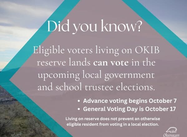
Voting in local elections while living on OKIB reserve lands
Read More: Voting in local elections while living on OKIB reserve lands -
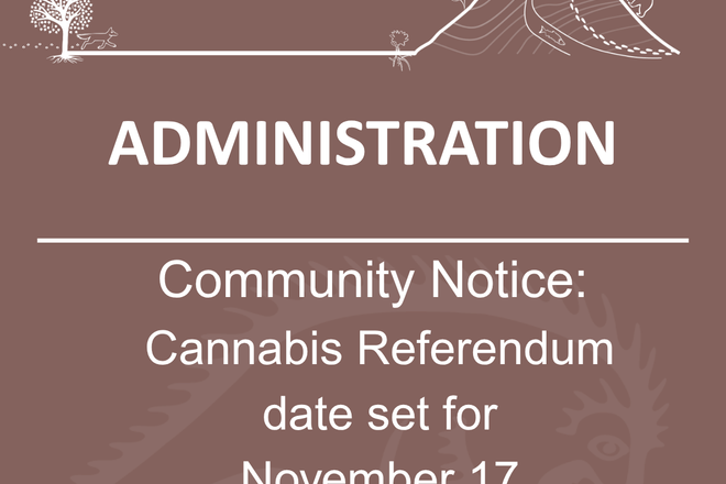
Community Notice: Cannabis Referendum and Community Information Meetings
Read More: Community Notice: Cannabis Referendum and Community Information Meetings -
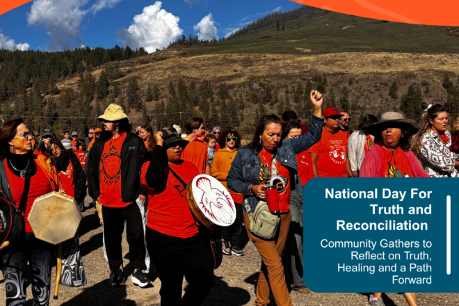
The October edition of Senk’lip is now available to read online
Read More: The October edition of Senk’lip is now available to read online